
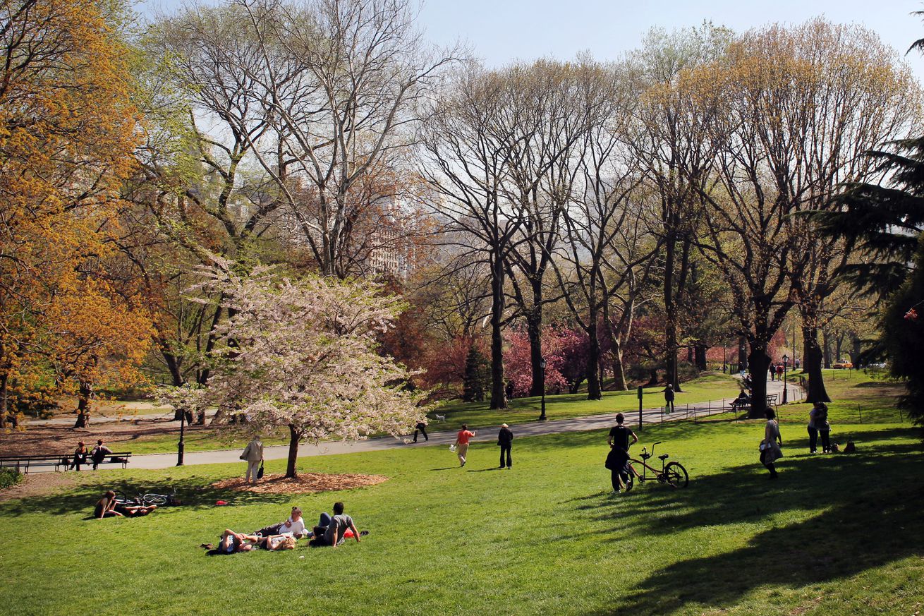
People relax underneath a blossoming tree during a warm spring day in Central Park in Manhattan. | Photo by Tim Clayton/Corbis via Getty Images
Thanks to a couple satellite images from NASA, we can see how cool it is to be green — literally. The maps below show that the greenest parts of the Northeastern US with the most lush vegetation have lower surface temperatures. Conversely, the least green regions align almost perfectly with the hottest areas.
That’s because trees and plants are crucial for calming down the phenomenon called the urban heat island effect. All the asphalt and big buildings in an urban jungle trap heat. As a result, cities tend to be several degrees hotter than surrounding areas. Within a city, more industrial areas tend to be even hotter. That tends to make heatwaves even more dangerous for low-income households and communities of color, particularly…