
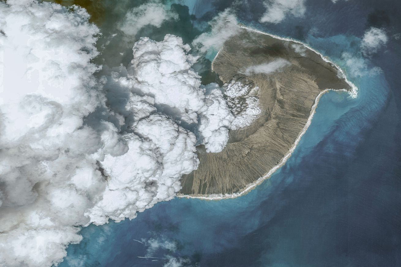
HUNGA TONGA-HUNGA HA’APAI, TONGA – DECEMBER 24, 2021: In this image 2. of a series created on January 19, 2022, Maxar overview satellite imagery shows the Hunga Tonga-Hunga Ha’apai volcano on December 24, 2021, before the eruption on January 15th , 2022 in Hunga Tonga-Hunga Ha’apai Islands, Tonga. | Photo by Maxar via Getty Images
The volcanic eruption that rocked the Pacific island nation of Tonga in January was so powerful it blasted ash all the way up to the mesosphere, the third and coldest layer of Earth’s atmosphere. Rising 58 kilometers (36 miles) above Earth, the volcanic plume was likely the tallest ever measured by satellite, according to NASA.
NASA was able to measure the plume because two weather satellites happened to be in the right place at the right time. Those satellites took still images and infrared observations that give a play-by-play of the eruption from above.
In just 30 minutes or so following the eruption, ash, steam, and gas from the underwater volcano rose from the surface of the ocean all the way up to the mesosphere. A second blast…