
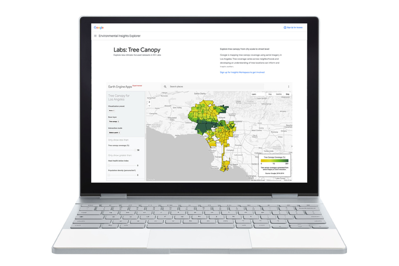
Google’s Tree Canopy Lab | Image: Google
Google Maps has new features that should make it easier for users to see wildfires, tree canopy, and locations without formal addresses. It’s all aimed at helping communities be “safer, more sustainable, and discoverable,” according to the company.
A new wildfire layer on Maps will begin rolling out globally this week, Google announced today. It’ll show most major fires, those prompting evacuations, across the world. Red splotches and pins on the layer will indicate where blazes are and how far they’ve spread. By tapping on any single wildfire, users can see more information, like how many acres have burned, what percentage of the fire has been contained, and links to local emergency resources.
The map is updated about every hour. It…